Hydra
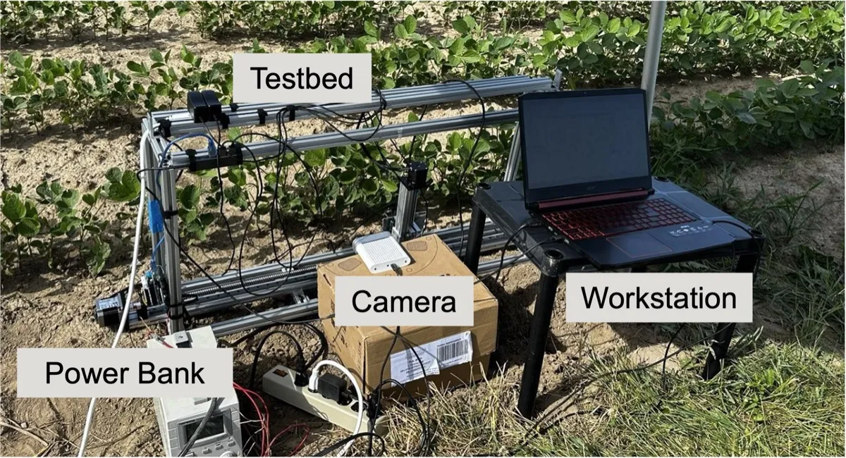
Measuring leaf wetness with radar and vision.
Combining radar and camera observations for leaf wetness sensing in changing field conditions.
Read the studyHow can intelligent systems understand a world they only partly observe?
My long-term direction is spatial intelligence: helping intelligent systems understand the physical world—its properties, relationships and changes—well enough to reason and act. I approach this through observation. Sensors provide partial, noisy and different evidence; my published work studies how to recover useful physical quantities from it. Maintaining that understanding over time and using it in decisions are the next questions.
 Camera
 mmWave
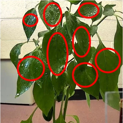
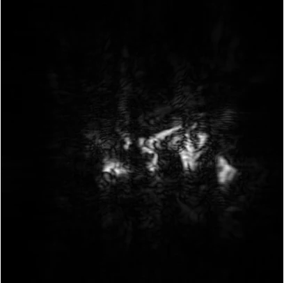
RGB and mmWave SAR examples from Proteus. Each reveals a different part of the same physical scene. Proteus
My published work establishes task-specific foundations in sensing and representation. Current research brings time and context into view. The roadmap extends from these results toward persistent physical-world understanding; its later stages remain open research questions.
Published foundations
Biomimetic sonar and mmLeaf introduced me to indirect observation: finding structure in echoes and measuring leaves with radio waves.
Early workPublished foundations
Hydra combined radar and camera observations. That made the representation—not simply the choice of sensor—the next question.
HydraPublished foundations
Proteus studies what a radar can learn from a camera. Adonis asks how to measure degrees of wetness, with calibration for field conditions.
Proteus & AdonisIn progress · public preprint
Driving assessment motivates a shift from isolated measurements to behavior understood over time and in context. The public preprint sets out design principles and research opportunities; a completed monitoring evaluation remains to be established.
Driving assessmentFuture agenda
Connect physical estimates across time, revise them when evidence changes, and determine when they can support a decision. These are the next research goals, building on the sensing foundations above.
Research visionThree published sensing systems and a driving-assessment preprint. Each asks a specific question and provides a different kind of evidence.
Measuring leaf wetness with radar and vision.
Combining radar and camera observations for leaf wetness sensing in changing field conditions.
Read the study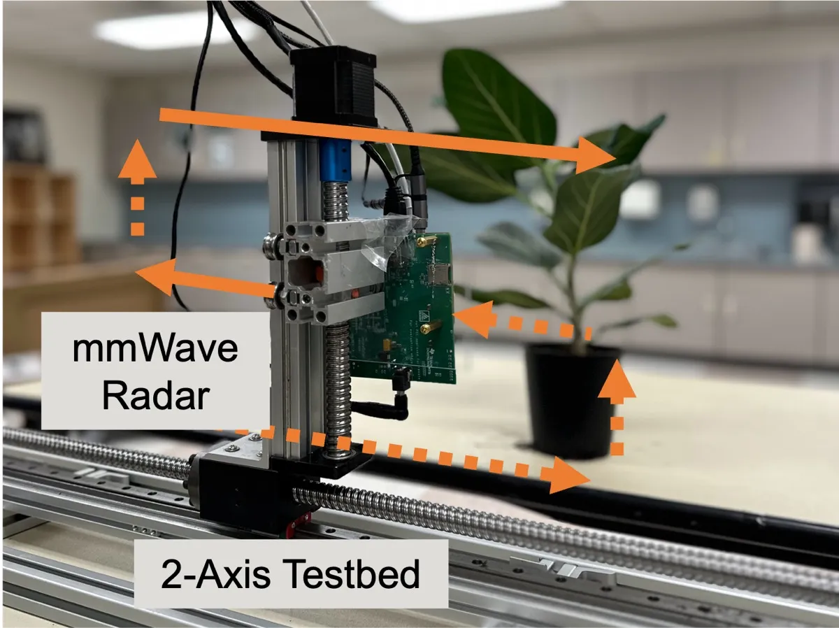
Learning with vision, sensing with radar.
Transferring visual knowledge to mmWave representations, with more informative radar imaging.
Read the study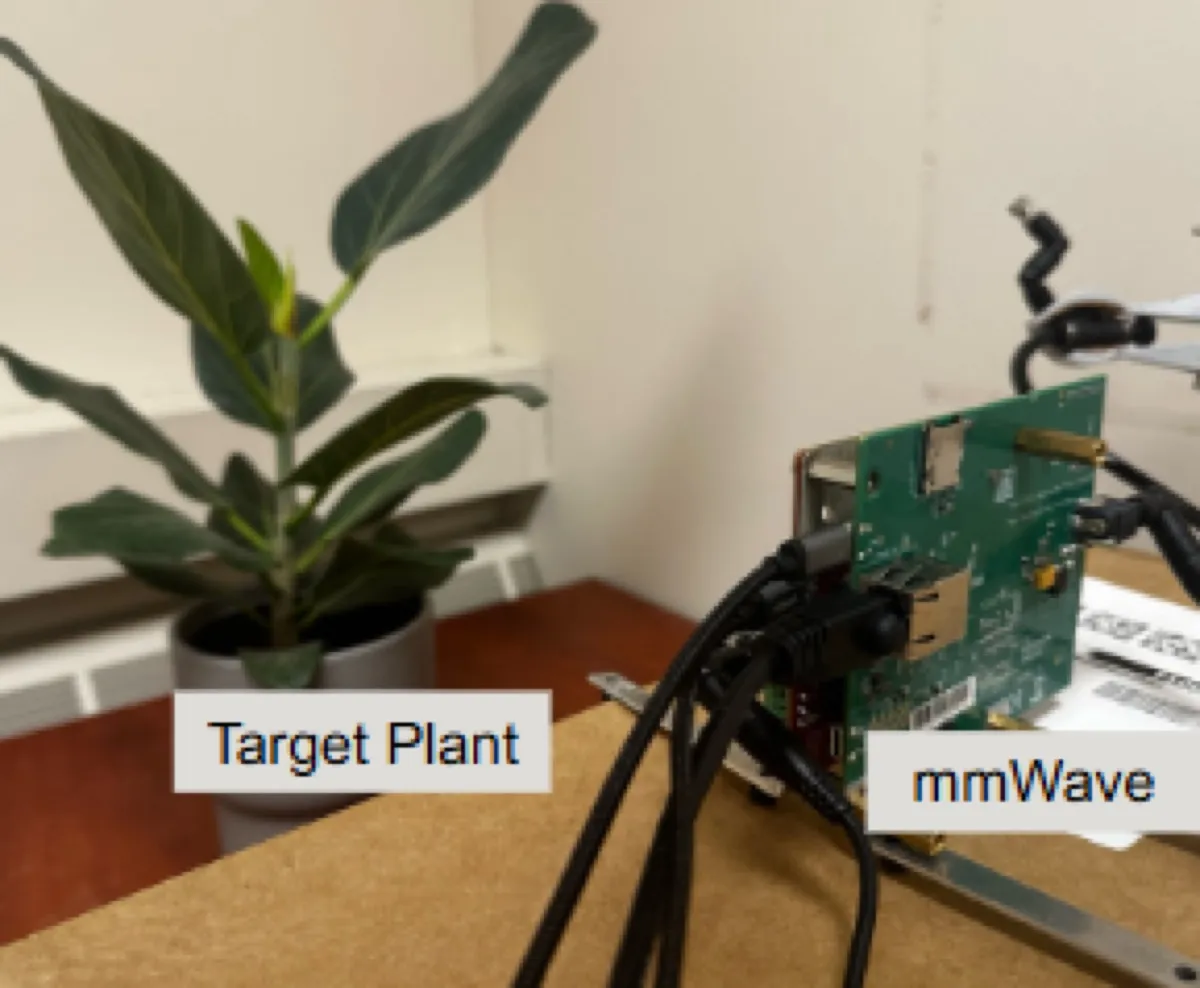
Measuring how wet a leaf is.
Fine-grained leaf wetness estimation from complementary radar signal views and calibration.
Read the study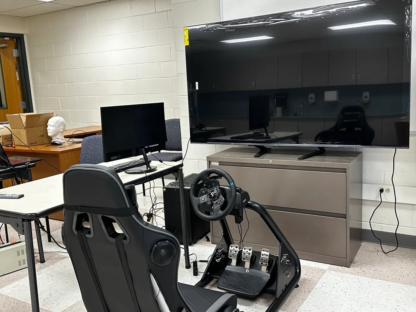
Driving assessment over time and in context.
Exploring continuous, contextualized driving assessment for older adults.
Read the studyI want to build a research program in spatial intelligence that connects observation, physical representation and persistent understanding. The goal is for systems to maintain an account of what is happening, what is uncertain and when the evidence is sufficient to reason or act. Three open questions define the work ahead.
What physical state can we infer—and what must remain unknown?
Develop representations that connect heterogeneous observations to physical quantities and make uncertainty explicit.
How should a system revise its beliefs when observations stop or the environment changes?
Study continuity, change and uncertainty over time, with evaluation that exposes missing observations and shifting conditions.
When is an estimate reliable enough to support a decision?
Connect model reliability to the consequence of an error, including when a system should ask for more evidence or defer to a person.